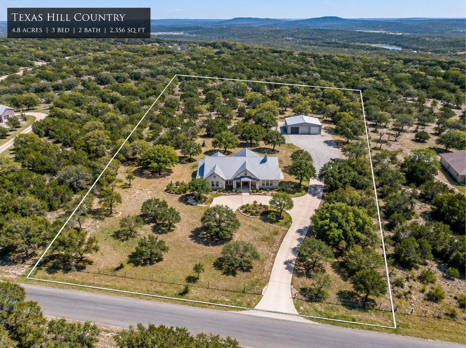
Real Estate & Land
Listing photos and video that show the home, the lot and everything around it.
Learn more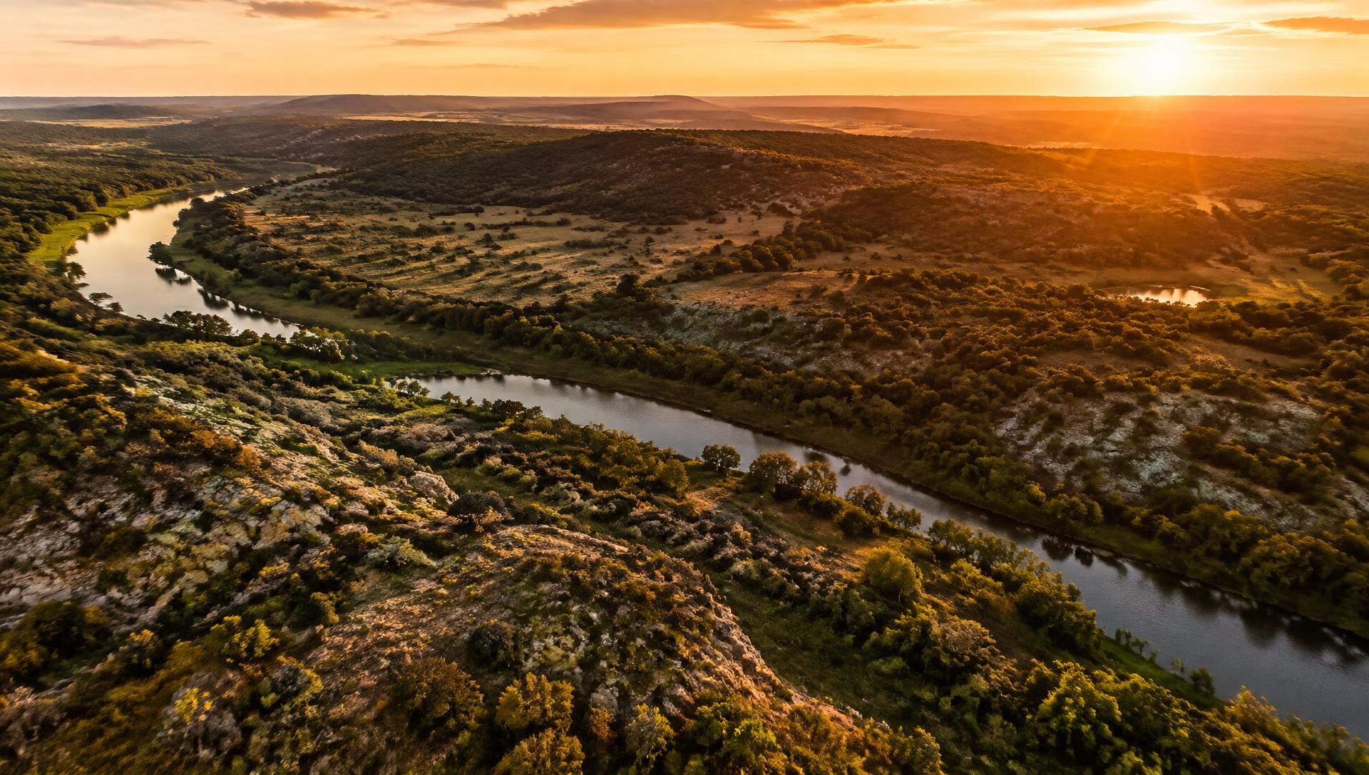
ALT 400 FT · 29.79° N 98.73° W · HILL COUNTRY, TX
FAA-certified, veteran-owned drone photography and videography for businesses, landowners, and builders across the Texas Hill Country.
Why Aerial
Your listing or property looks like every other one.
→ Aerial imagery makes it stand out and shows the full scale.
Large acreage can't be captured from the ground.
→ See boundaries, access, water and terrain in one shot.
Roofs and structures are risky or costly to check up close.
→ Get detailed visuals without ladders or lifts.
Project stakeholders can't be on site.
→ Regular progress footage keeps everyone aligned.
Your marketing content blends in.
→ Cinematic aerial video gives your brand a premium edge.
Events and milestones go undocumented.
→ Capture the moment and the scale of it.
Services
Listing photos and video that show the home, the lot and everything around it.
Learn more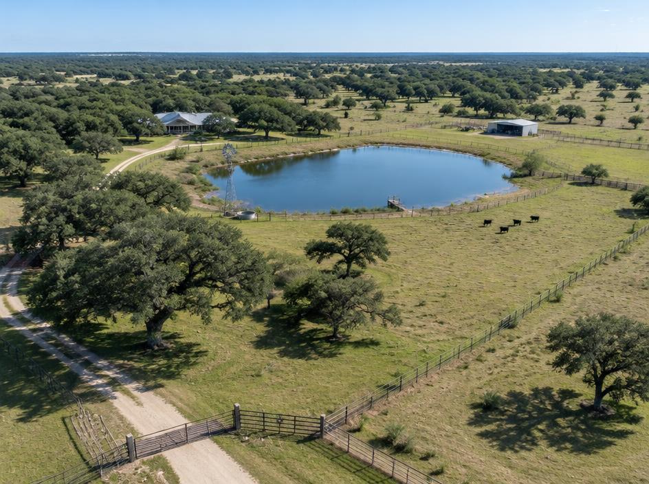
Boundaries, water, roads and terrain captured clearly for sale or management.
Learn more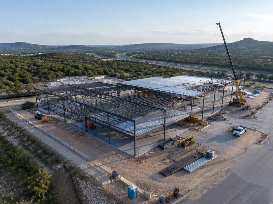
Scheduled flights that document each phase for owners, lenders and teams.
Learn more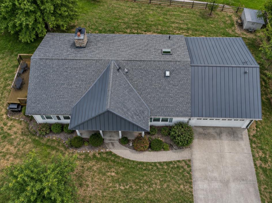
Close, detailed visuals of roofs and structures without ladders or lifts.
Learn more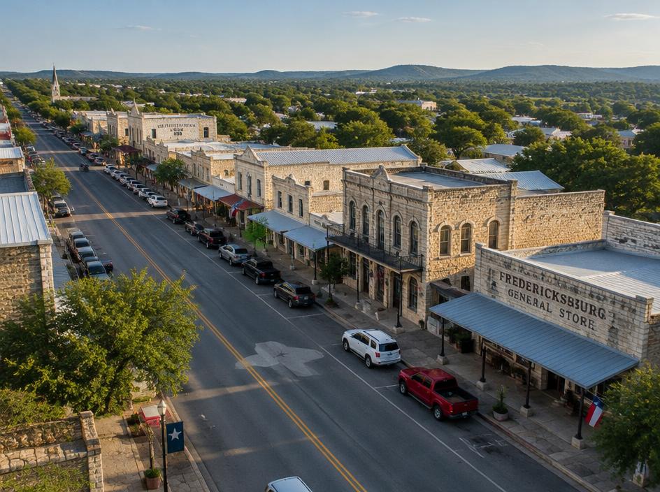
Cinematic aerial footage for websites, social media and campaigns.
Learn more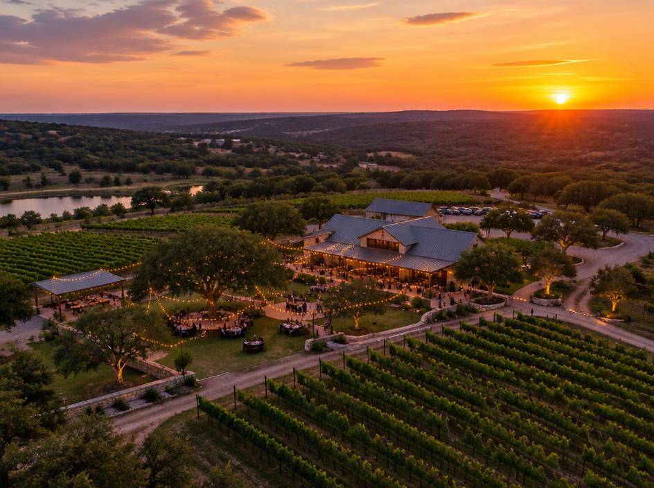
Don't see your project? If it can be seen from above, let's talk.
Deliverables
How It Works
Share the location, goals and timing.
We check airspace, weather and the best time of day for light.
An FAA-certified pilot flies the site safely and efficiently.
You receive polished files ready to use.
About
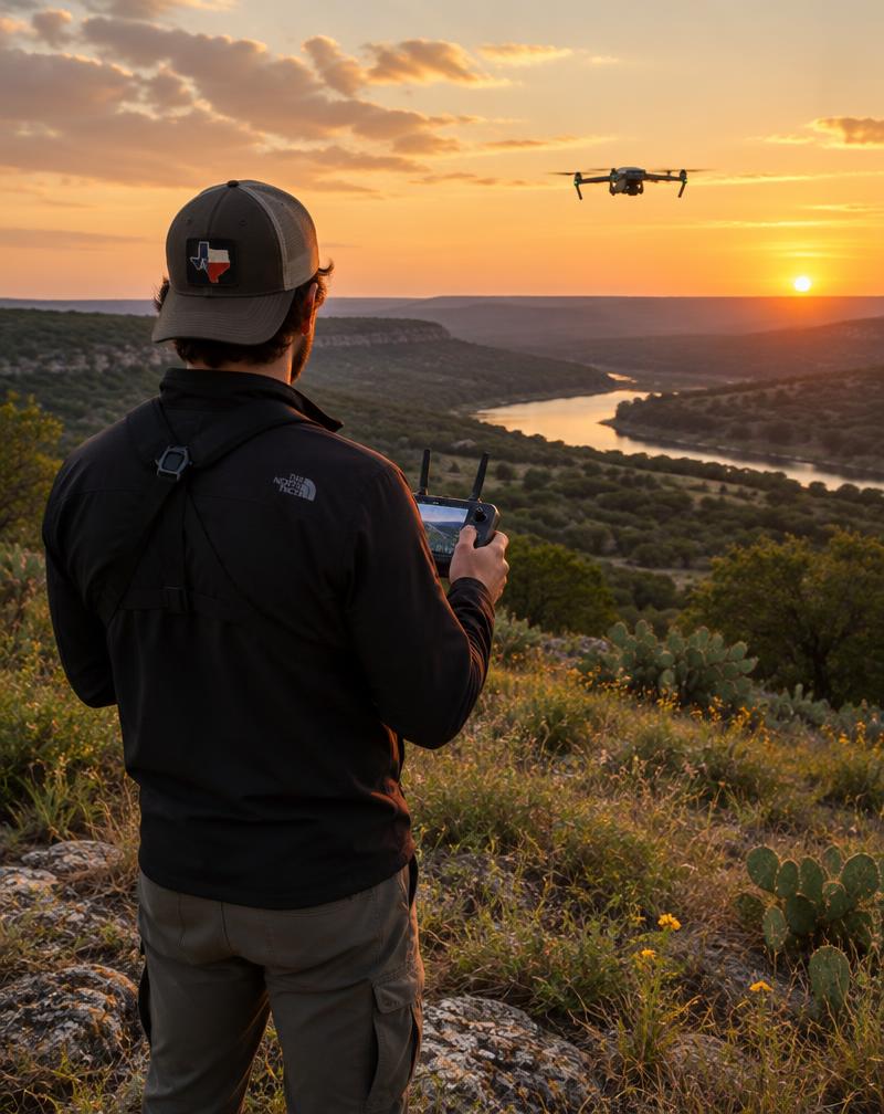
I'm [Your Name], a military veteran and FAA Part 107 certified drone pilot based in the Texas Hill Country. My service taught me to plan carefully, communicate clearly and get the job done right the first time, and I bring that same discipline to every flight. Whether you need to sell a property, track a build or show off your business, I'll get you the shot that solves the problem.
Service Area
Outside this area? Reach out. Travel is available.
FAQ
Get a Quote
Tell me what you need, and I'll get back to you within [X] business day(s).